The Caribbean’s relatively drier September–October period coincides with the wettest Pacific period. Compare the coast, then use a current forecast rather than a countrywide dry-season label. [1]
02
Ticketed park beaches and town beaches differ
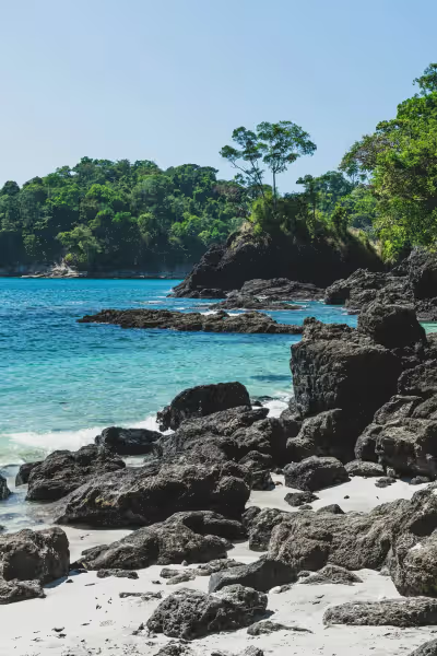
Manuel Antonio Beach and Espadilla Sur sit inside the national park. SINAC lists online tickets and a Tuesday closure. The Manzanillo beach in the Nicoya collection is on the Pacific peninsula, not Caribbean Manzanillo. [3]
EXPLORE THE MAP
Choose the places that fit
Browse the visit guides, or open the map to compare locations.
7 places
01 · Tamarindo, Guanacaste
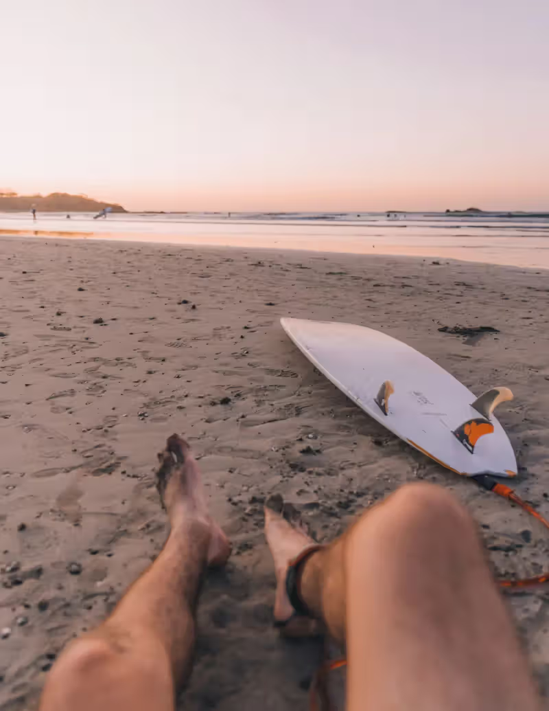
A practical Pacific beach base for a slower stay, with Langosta and other coastal localities nearby. Keep the tide, surf conditions and exact accommodation location central to your beach plans.
This saved Pacific beach is near the southern peninsula, not the Caribbean Manzanillo by Puerto Viejo. Its location makes it a separate extension from Tamarindo; plan roads or a peninsula ferry deliberately.
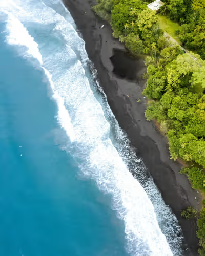
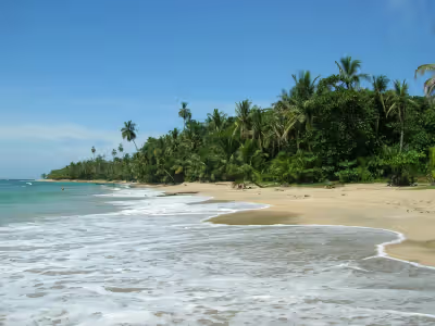
A black-sand beach on the Caribbean side, west of Puerto Viejo. It is a different locality from Guanacaste’s Playa Negra; use the coast and saved pin when arranging a stay or transfer.
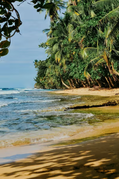
Choose an unhurried beach outing from the Puerto Viejo corridor. Snorkeling or kayaking depends on the day’s sea conditions and the particular operator; calm-looking water is not a safety guarantee.
Combine the beach with a restrained park walk. SINAC lists online-only tickets and a Tuesday closure; secure the right date and carry the identification requested for admission.
Espadilla Sur is inside the national park, unlike the public Espadilla beach outside its boundary. Plan park admission and walking access before treating it as a casual roadside beach stop.
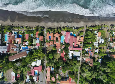
Use Jacó for a beach-town walk, food and an unhurried coastal stop. Choose a surf lesson or beach time according to local conditions rather than assuming every stretch suits swimming.
Locations from Fyno’s curated places. Use current road and site guidance for access; pins are not a driving route.
Questions before you go
How do I fit these stops into a route?+
Use the individual place’s locality and the saved route day order. These are alternatives across different areas, not a single day’s checklist. Choose the main outing before arranging the next overnight.
Are admission and current conditions confirmed?+
The linked official sources were read November 5, 2026. Check the specific operator, date, ticket inclusions and conditions again before travel; the guide does not establish current bookability.
Sources & planning notes+
The website catalog was captured October 27, 2026. Editorial source checks were made November 5, 2026. Check current conditions, admission, room offers and transfers for your dates. The map shows saved place coordinates, not a verified driving route.
A 10-day starting plan through the Central Valley, Tortuguero, Arenal, Tamarindo and Monteverde. Choose the main outings; this is not a seven-day tour of both coasts.