
Choose the commitment
Choose by exposure, return effort, permits and approach. A rim walk, a river canyon and a wilderness navigation day are different commitments.
Choose by exposure, return effort, permits and approach. A rim walk, a river canyon and a wilderness navigation day are different commitments.
Explore the choices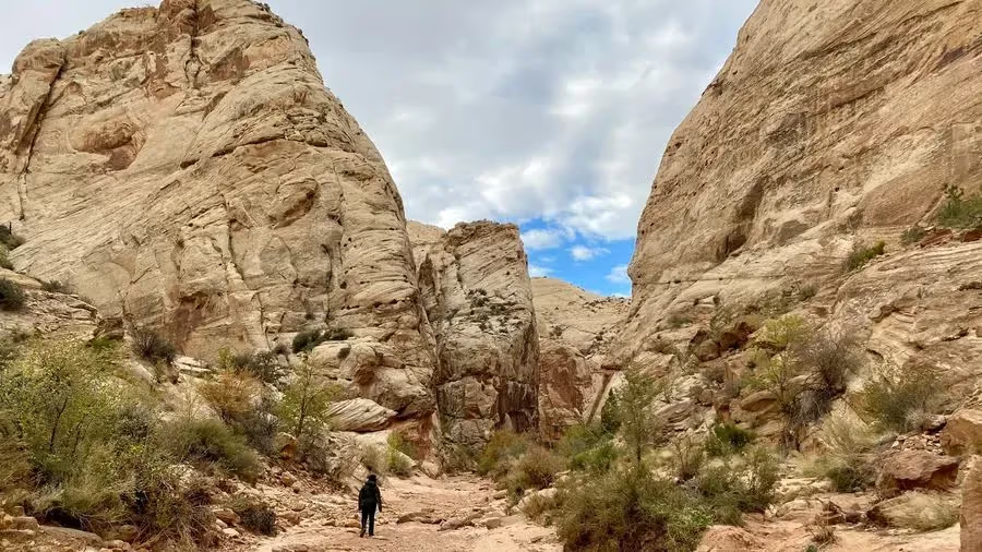
Make the trip fit you
Choose by exposure, return effort, permits and approach. A rim walk, a river canyon and a wilderness navigation day are different commitments.
The map locates source entries. Follow the relevant land manager for the actual trailhead, permission and current conditions. [2][9][7]
EXPLORE THE MAP
Browse the visit guides, or open the map to compare locations.

Capitol Gorge adds an unpaved approach beyond the main Scenic Drive. Check the access road and flood outlook before committing to the walk.
Open visit guide Photo by John Bewlay
Goblin Valley is a separate state park between the Capitol Reef and Moab portions of the journey. It adds an outing and its own entrance arrangements.
Open visit guide Photo by Intricate Explorer
Choose a sensible turnaround on Bright Angel before descending. The return is uphill, and a full river-and-back outing is not the default day-hike plan.
Open visit guide Photo by Jacob Jolibois
Havasu Falls is a separate Havasupai reservation trip. It needs its own multi-day logistics and is not an optional afternoon from a South Rim hotel.
Open visit guide Photo by Cara Fuller
South Kaibab is an exposed below-rim hike. Choose a turnaround that leaves a realistic climb out and verify transport, conditions and water arrangements.
Open visit guide Photo by Fabrizio Coco
Choose a manageable section of the South Rim Trail. The full trail is much longer than a quick overlook visit; match the walk to the actual return transport.
Open visit guide Photo by Josh Sorenson
Choose the portion of Devils Garden that suits your group. Reaching a first arch and completing the longer route are very different walking commitments.
Open visit guide Photo by James Lee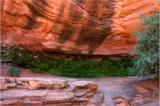
Use Hanging Gardens as a shorter Page-area walk when a major excursion does not fit. The stored map pin is approximate; verify the current NPS trailhead before navigating.
Open visit guide Photo by mark byzewski
Leave walking time and sun protection for Horseshoe Bend. It is an exposed approach to a rim viewpoint, not a pull-over photograph from the car.
Open visit guide Photo by Gert Boers
Angels Landing is a permit-dependent, exposed ridge hike. Choose it for your group’s comfort with heights and leave another day for a long river outing.
Open visit guide Photo by Sapan Patel
A bottom-up Narrows outing starts from the Temple of Sinawava side when conditions allow. River flow, flash-flood risk, water quality and closures decide whether to enter.
Open visit guide Photo by Karan Chawla
The top-down Narrows is a long wilderness itinerary with permit and transport arrangements. It is not the same outing as the bottom-up visitor route.
Open visit guide Photo by Isaac Martin
The Subway is a separate Left Fork wilderness outing with permit requirements. It does not belong in an arrival-day main-canyon sightseeing plan.
Open visit guide Photo by Tyler Mower
Timber Creek Overlook is in the Kolob Canyons section of Zion. Its road approach is separate from Springdale and the main-canyon shuttle.
Open visit guide Photo by NikaterLocations from Fyno’s curated places. Use current road and site guidance for access; pins are not a driving route.
Choose by exposure, return effort, permits and approach. A rim walk, a river canyon and a wilderness navigation day are different commitments.
Check the current land-manager notice, any required reservation, and the operator or property for your dates before committing to the next part of the journey.
Website planning reviewed November 5, 2026 against the committed Fyno catalog and the official sources below. Schedules, permits and temporary closures can change. Confirm access for your travel year and date. Map pins show stored locations, not a driving route.