PAGE & THE BORDER COUNTRY · GRAND CIRCLE · VISIT GUIDE
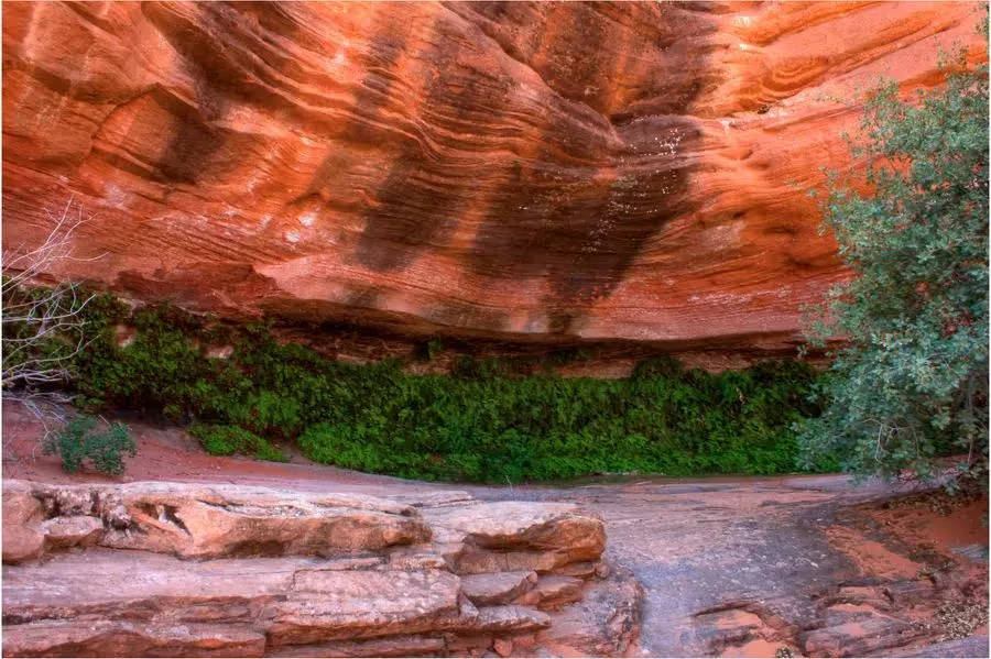
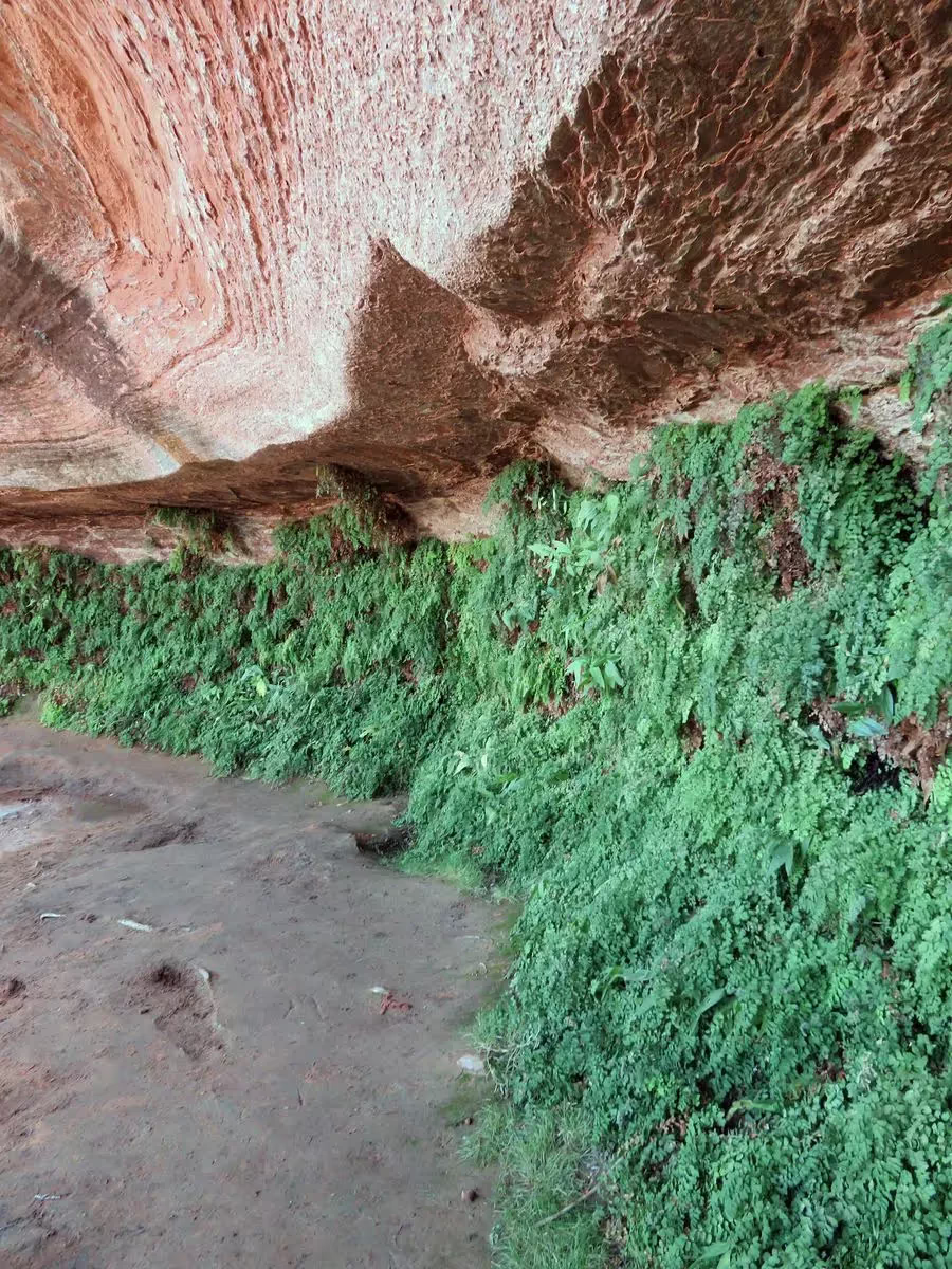
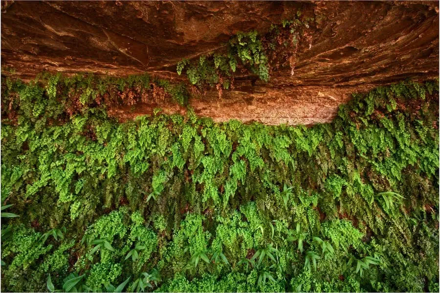
Hanging Gardens Trail
1 expert tip
A short Page-area walk from the Hanging Garden trailhead near US-89 east of Glen Canyon Bridge. Use the NPS approach instructions; the original source pin south of town is inaccurate.
 Curated by Roman ↗Grand Circle curation · Planning notes
Plan your Hanging Gardens Trail visit
Choose the outing before committing the travel day.
Source time allowances exclude driving, parking, shuttle waits and the onward journey. Confirm admission and any permits separately.
Check the exact approach
A shoreline stop, kayak departure and remote Alstrom Point drive have different access requirements. Confirm the launch or road with the operator or land manager for the actual date.
1 expert tip
 RomanGrand Circle expert
Original curator notes · check current details.
The trailhead is just off Highway 89, about 3 miles south of Page near milepost 545. It's easy to miss — look for a small dirt pullout on the east side of the road. Best visited in the morning before the heat of the day.
About these tips
These are the original tips from Roman’s Grand Circle curation. Personal recollections describe past visits. Check current access, prices, inclusions and booking rules with the venue or operator for your dates.
Choose your experience
Leave room for the return
The saved location and time are curation data, not a navigation or access guarantee. Use the current land-manager directions and reserve a separate day where required.
Connect the right region
Page works for Horseshoe Bend and a booked Antelope Canyon tour. The Wave is a permit-dependent wilderness day west of town, and Big Water stays are across the Utah border.
Other choices in Page & the border country
These share a curation area. Compare their actual approaches before combining them.
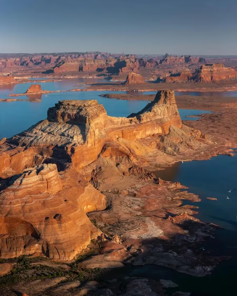
Alstrom Point
Alstrom Point is a remote drive on the Utah side of Lake Powell. Confirm road conditions, vehicle suitability and daylight for the return before committing.
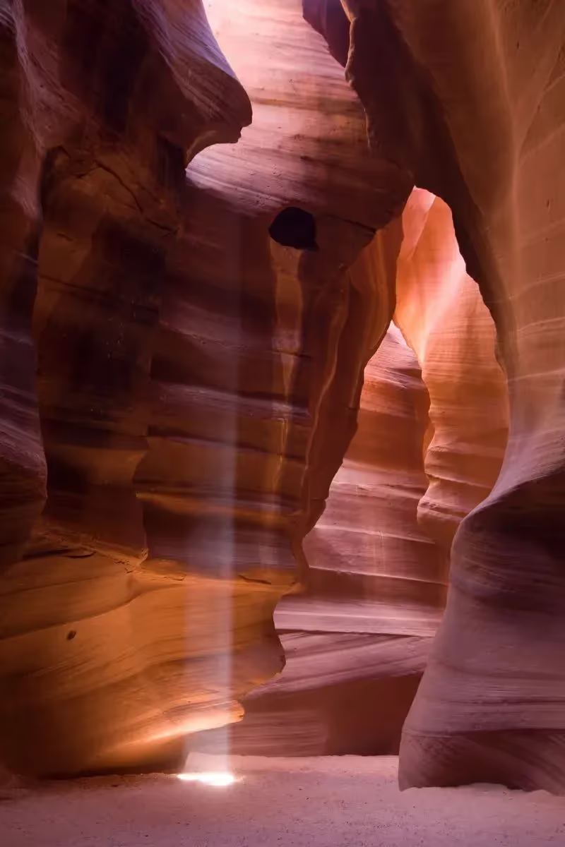
Antelope Canyon
Book the exact Antelope Canyon tour you want. A guided visit is required, and Upper and Lower canyon departures have different meeting points and physical demands.
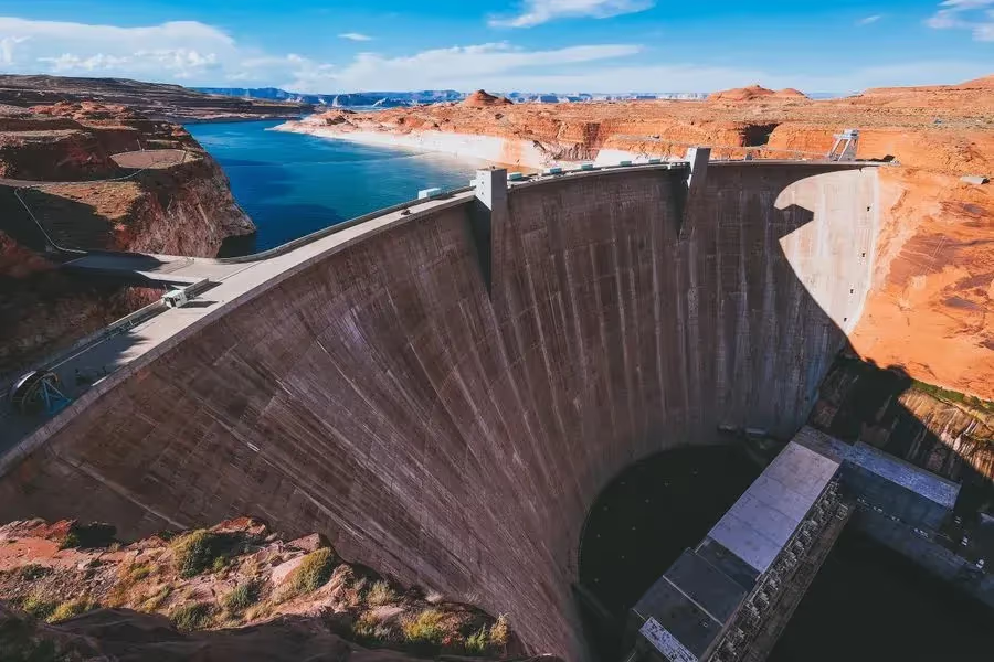
Glen Canyon Dam
Glen Canyon Dam is a Page-area stop. Distinguish a viewpoint visit from any interior program, and check which facilities are operating for your date.
How should I plan Hanging Gardens Trail?
Use Hanging Gardens as a shorter Page-area walk when a major excursion does not fit. The stored map pin is approximate; verify the current NPS trailhead before navigating. [7][6]
Does the time allowance include the journey?
No. Add the approach, parking or shuttle, breaks and the return before combining it with the next stop.
Sources & planning notes
Fyno curation reviewed November 5, 2026 (committed website catalog, compared with read-only RTDB). Editorial planning advice updated 2026-11-05. Check current operating details with the venue before visiting.
Original source text, tips, gallery and saved membership are preserved. Website planning notes distinguish route choices and current access checks; they do not certify opening status, trail suitability or availability for a future date.
Time allowances exclude road journeys, parking and shuttle waits. Check the exact approach and the return before committing the next overnight.
[7] Navajo Nation: Antelope Canyon visits[6] BLM: The Wave permits and route[19] NPS: Hanging Garden trailhead approach[20] Northern Arizona Trails: Hanging Garden trail mapEditorial planning updated 2026-11-05. Check current access and booking details before travel.
 HikingWaterfallsHidden gemWalking trails
Explore Grand Circle itineraries
 Expert-curatedDay-to-dayPerfect logistics