Plan the approach
The source pin is on Yellowstone Lake’s west side, despite wording that calls it eastern. Follow signed public access and do not assume every shore segment is a maintained trail or swim area. [2]
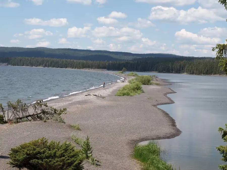
YELLOWSTONE LAKE · WEST SHORE · YELLOWSTONE · VISIT GUIDE
A lakeside pause on the West Thumb–Lake Village road, separate from Storm Point farther north and east.
 Curated by Roman ↗Yellowstone curation · Planning notes
Check the park pass and any separate services
No live price or availability claim
The source pin is on Yellowstone Lake’s west side, despite wording that calls it eastern. Follow signed public access and do not assume every shore segment is a maintained trail or swim area. [2]
Use the map pin to understand the setting; confirm the exact parking and legal foot access locally.
Compare the current park-road status, the actual overnight location and the time needed for the return before adding another stop. [1]
Compare these places with the next overnight and the road journey. They are choices across a wider area, not a list of stops all within walking distance.
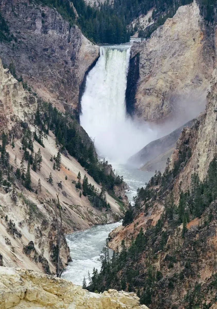
Choose a canyon rim and a manageable set of viewpoints before adding a longer walk.
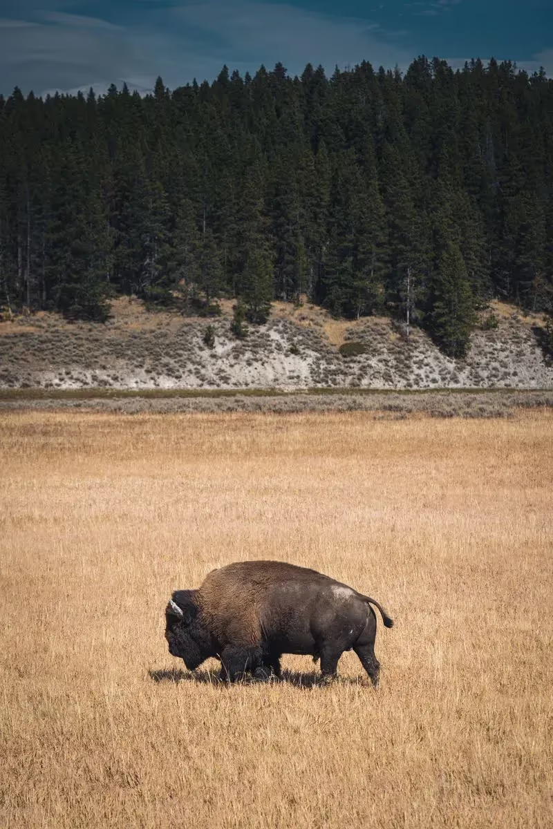
Watch the Yellowstone River valley from designated pullouts between Canyon and the lake.
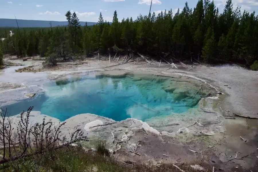
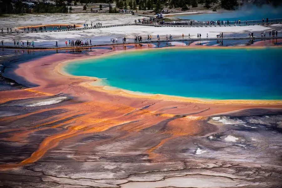
Explore Porcelain Basin as a thermal outing in its own right, with time to pause along the boardwalk.
The source pin is on Yellowstone Lake’s west side, despite wording that calls it eastern. Follow signed public access and do not assume every shore segment is a maintained trail or swim area. [2]
Use the map pin to understand the setting; confirm the exact parking and legal foot access locally.
Editorial planning advice updated 2026-11-05. Check current operating details with the venue before visiting.
Fyno source curation, with an editorial access review on November 5, 2026. Source URLs and saved itinerary membership are preserved. Check current official conditions again before travel.
The park’s October 8 notice says the main lagoon car park reopened after paving. An older English closure notice remains visible; use the dated update and current signs.
[2] Yellowstone thermal areas, wildlife and bear safety[1] Yellowstone road status and projected seasonsEditorial planning updated 2026-11-05. Check current access and booking details before travel.
 Black sand beachesMountain lakesScenic viewsWalking trails
 Flexible stop choicesRead the daily route notes