
Short does not mean unrestricted
Stay on thermal boardwalks and signed paths. Do not enter Biscuit Basin while closed or use an old connecting-walk tip as permission. [2][3]
Choose short boardwalk outings, a longer geyser walk or a mountain day. Grand Teton’s Lake Solitude is a separate full-day objective, not a Yellowstone add-on.
Explore the places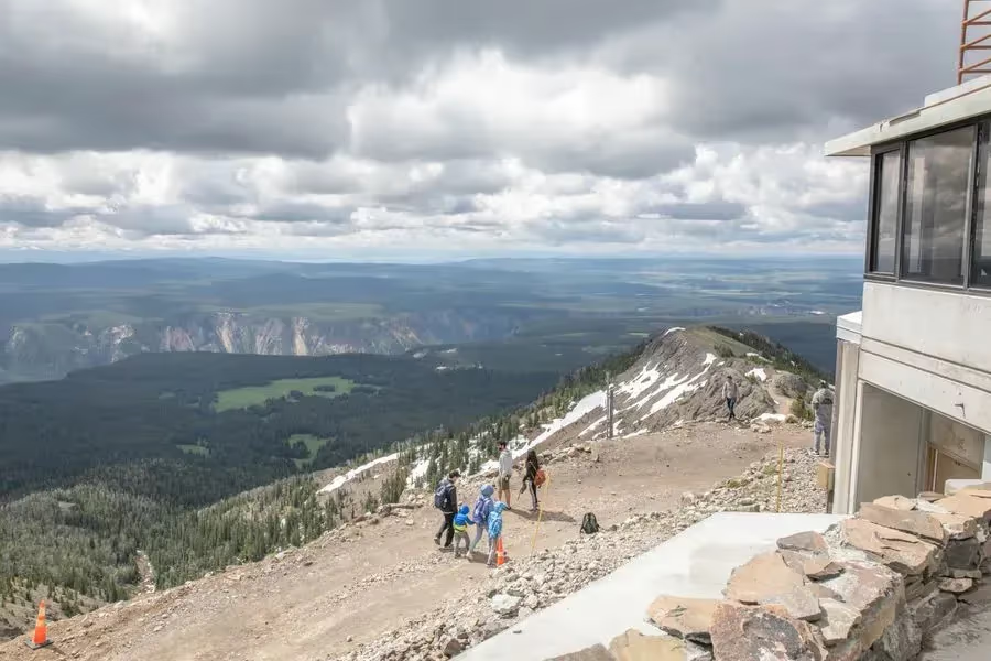
Make the trip fit you
Stay on thermal boardwalks and signed paths. Do not enter Biscuit Basin while closed or use an old connecting-walk tip as permission. [2][3]
NPS gives Lone Star as 4.8 miles return and Fairy Falls’ southern route as 5.4 miles, with a side hike to the Grand Prismatic overlook. Add waiting and parking to the walking time. [7][6]
Check Dunraven Pass access for Washburn and current Grand Teton trails for Lake Solitude. Snow, storms and the seasonal Jenny Lake boat can change the route. [1][10]
NPS advises against this hike in September and October because grizzly bears frequent the area. Choose another open outing and check local restrictions. [14]
EXPLORE THE MAP
Browse the visit guides, or open the map to compare locations.
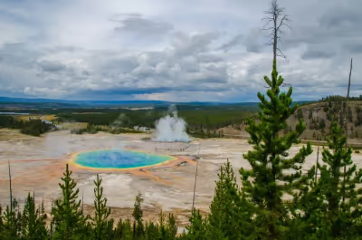
Choose the elevated overlook when you want the wider view of Grand Prismatic Spring.
Open visit guide Photo by Ron Barabash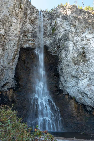
Choose the shorter Grand Prismatic overlook outing or continue to Fairy Falls with time for the longer return.
Open visit guide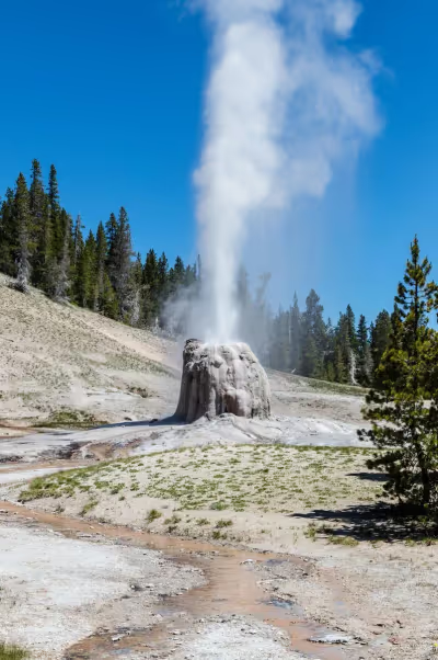
Follow the Lone Star trail for a quieter geyser outing, with time for the walk and a possible wait.
Open visit guide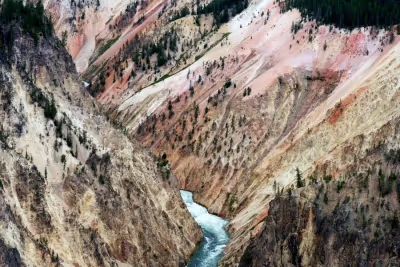
Continue beyond Artist Point only when the walking conditions and remaining daylight suit the trail.
Open visit guide Photo by Benjamin Massello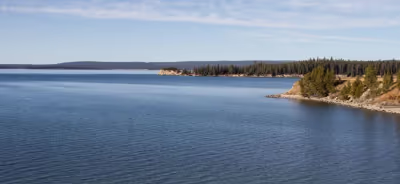
Choose a shoreline walk near Indian Pond when the trail is open and conditions suit a lake outing.
Open visit guide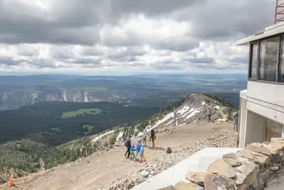
Make Mount Washburn the main walking outing of a suitable mountain day.
Open visit guide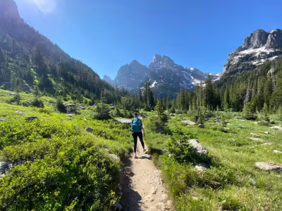
Treat Lake Solitude as a demanding full-day mountain outing, with an early decision about the route and return.
Open visit guide Photo by Roman GuliakLocations from Fyno’s curated places. Use current road and site guidance for access; pins are not a driving route.
Fyno source curation with official planning sources checked November 5, 2026. Operating dates are provisional and closures can change. Check again before travel; map pins are locations, not driving routes.