
Give Highway 12 room
A Bryce-to-Torrey transfer through Escalante is a travel day with stops. Lower Calf Creek Falls adds a real walk; choose it or a fuller Fruita afternoon rather than trying to finish every saved stop.
Torrey is the practical starting point for Fruita and Capitol Reef. Lower Calf Creek Falls belongs to the Escalante approach, while Goblin Valley is a separate detour toward Moab.
Explore the choices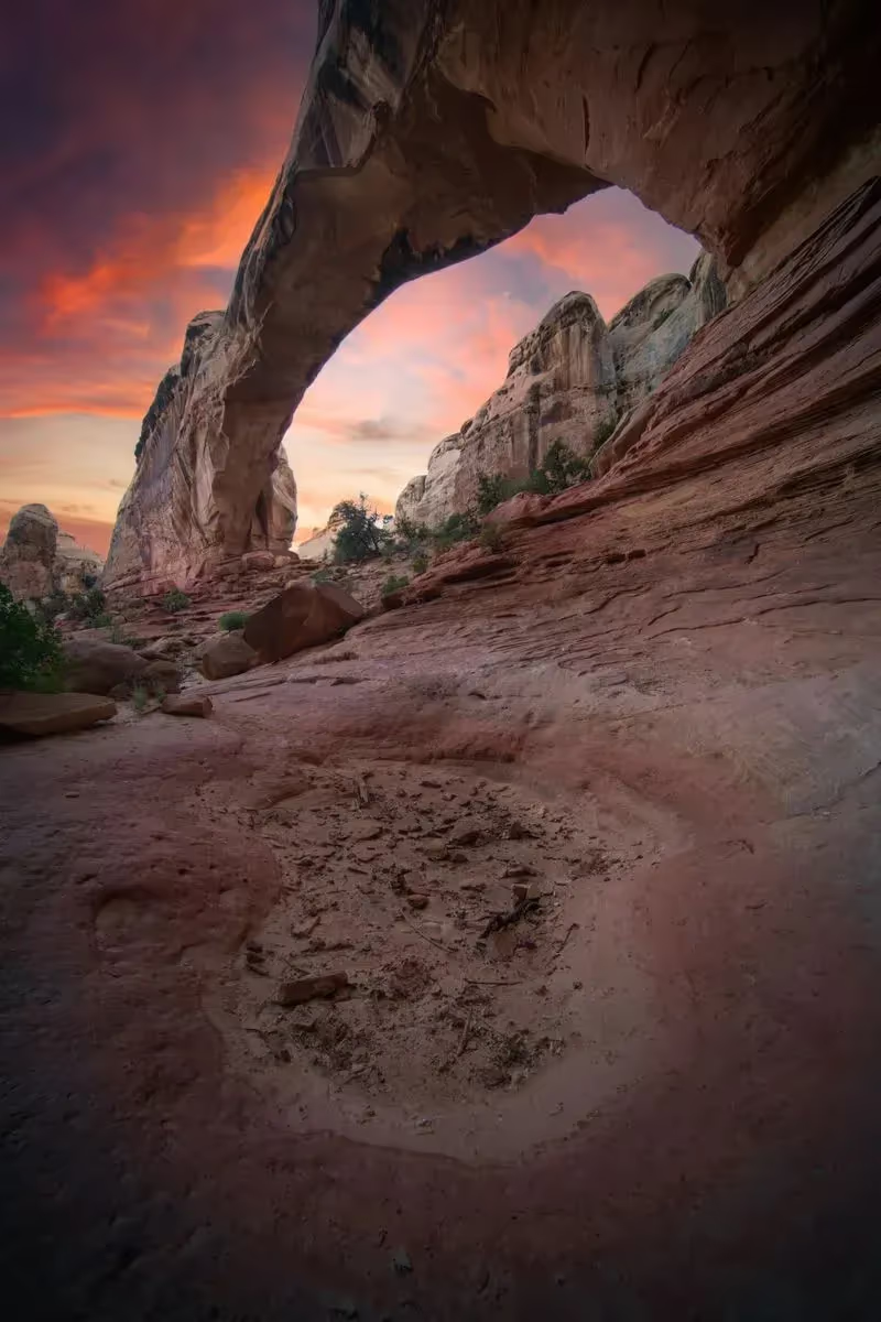
Make the trip fit you
A Bryce-to-Torrey transfer through Escalante is a travel day with stops. Lower Calf Creek Falls adds a real walk; choose it or a fuller Fruita afternoon rather than trying to finish every saved stop.
Cathedral Valley is a remote drive, not an extension of the paved Scenic Drive. Ask about road and wash conditions and check the rental agreement before committing to unpaved approaches. [10]
EXPLORE THE MAP
Browse the visit guides, or open the map to compare locations.

Capitol Gorge adds an unpaved approach beyond the main Scenic Drive. Check the access road and flood outlook before committing to the walk.
Open visit guide Photo by John Bewlay
Use the Scenic Drive for a road-based look at Capitol Reef. Side roads and gorge walks need separate time and condition checks.
Open visit guide Photo by Lisha Riabinina
Give Cassidy Arch a dedicated walking window from its actual trailhead. Do not assume it fits after a full Highway 12 transfer and Calf Creek hike.
Open visit guide
Cathedral Valley is a remote backcountry drive. Confirm road, wash and vehicle suitability before setting out; the main park road does not establish access here.
Open visit guide Photo by Brady Stoeltzing
Fit Gifford Homestead into a Fruita visit when its seasonal service is operating. Treat food and opening hours as a check for your date.
Open visit guide Photo by Tracy Zhang
Goblin Valley is a separate state park between the Capitol Reef and Moab portions of the journey. It adds an outing and its own entrance arrangements.
Open visit guide Photo by Intricate Explorer
Choose Hickman Bridge as a focused walk from the Fruita corridor. Leave the rest of the afternoon flexible after the approach and return.
Open visit guide Photo by Intricate Explorer
Lower Calf Creek Falls is in the Escalante area, west of Capitol Reef. Its approach and walk make it a substantial Highway 12 stop.
Open visit guide Photo by Greg Willis
Use Panorama and Sunset Points for a shorter Capitol Reef stop. Their timing is easier to fit than a backcountry loop after a long travel day.
Open visit guide Photo by Famartin
The Fruita petroglyph panels are a short cultural stop. Stay on designated viewing areas and leave the rock surfaces untouched.
Open visit guide
This overlook belongs to the remote Cathedral Valley drive. Road access and the journey back govern the day, not just the short walk at the end.
Open visit guide Photo by Evan SanchezLocations from Fyno’s curated places. Use current road and site guidance for access; pins are not a driving route.
No. It is on the Escalante approach along the wider Highway 12 journey. Give its walk a separate allowance and simplify the Capitol Reef afternoon.
Check the current land-manager notice, any required reservation, and the operator or property for your dates before committing to the next part of the journey.
Website planning reviewed November 5, 2026 against the committed Fyno catalog and the official sources below. Schedules, permits and temporary closures can change. Confirm access for your travel year and date. Map pins show stored locations, not a driving route.